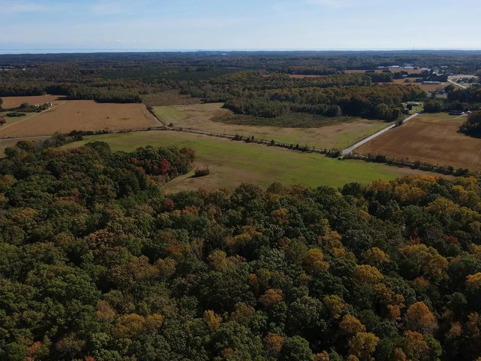
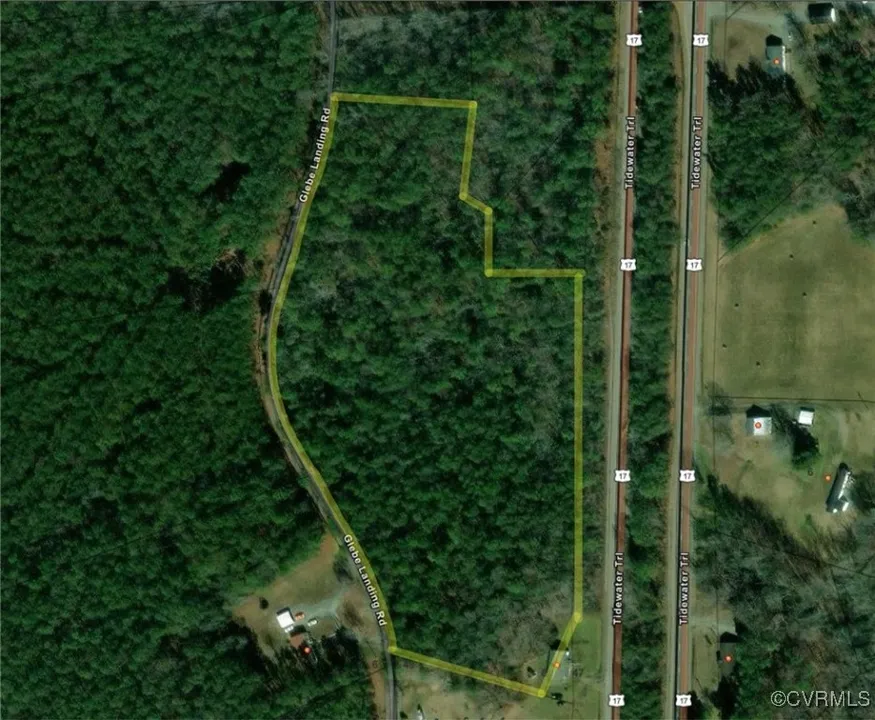
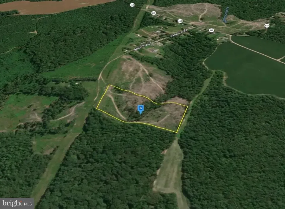
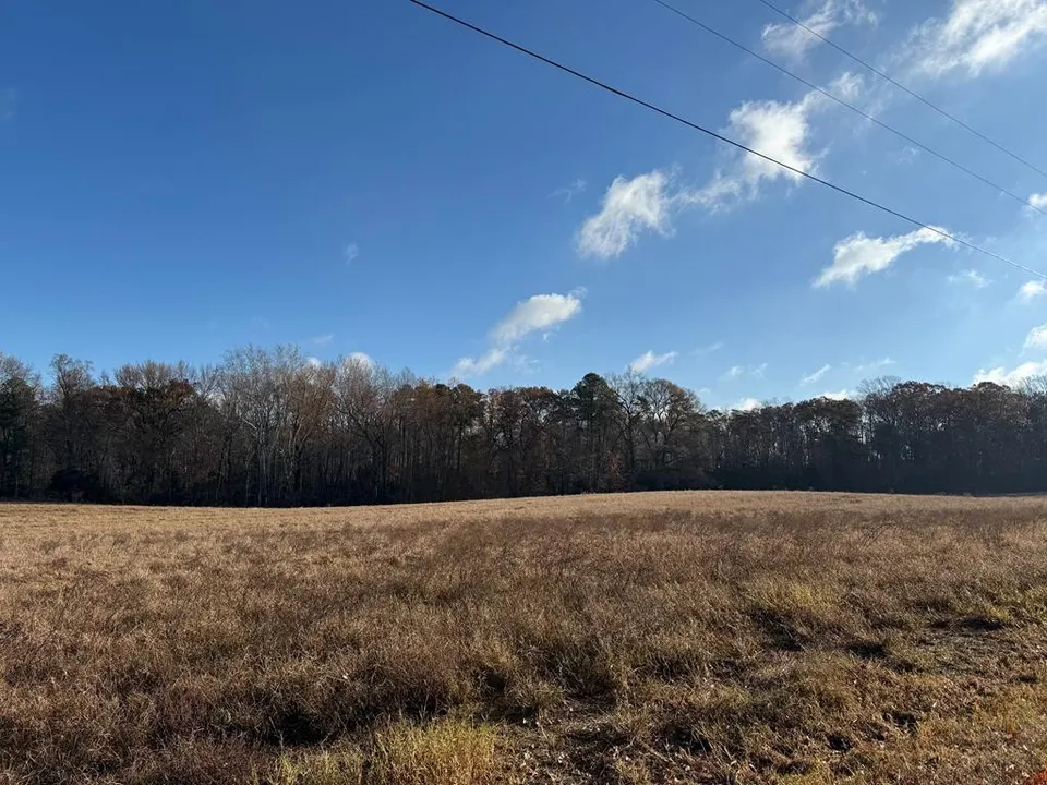
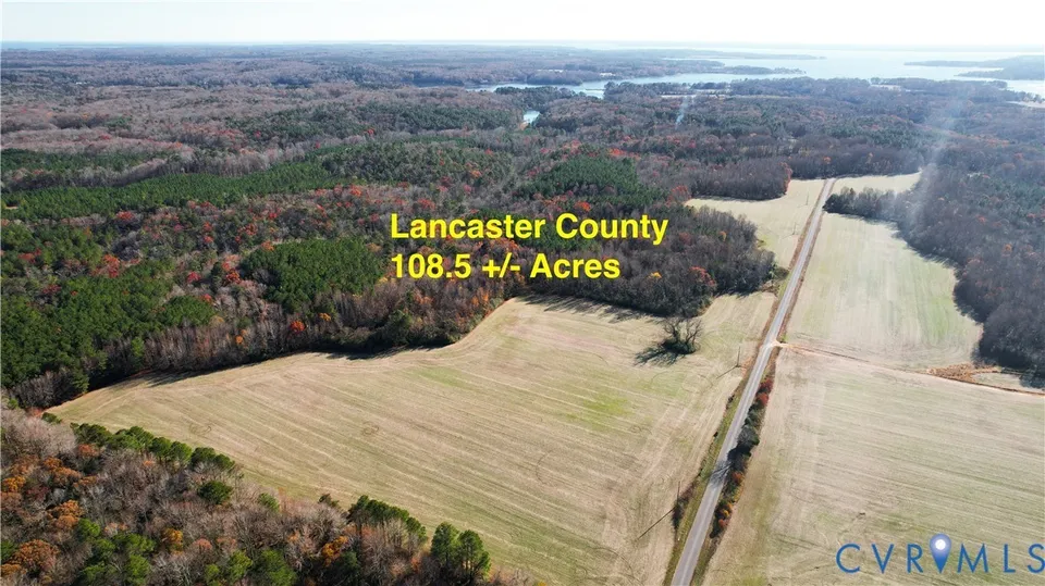
High Ground Land in Tidewater
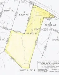
Sea-level rise is reshaping Tidewater Virginia's land market. Mathews County has lost measurable shoreline in recent decades, and FEMA has revised flood maps across the Northern Neck and Middle Peninsula to reflect increasing tidal reach. High-ground parcels — land outside FEMA flood zones with 75% or more usable acreage after subtracting wetland and floodplain impact — represent the most resilient investment in this region. LandMatch combines FEMA flood boundary data with NWI wetland maps to calculate usable land percentage on every parcel, identifying the high-and-dry ground that holds its value as the water rises.