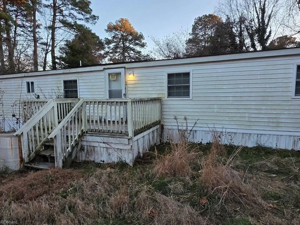
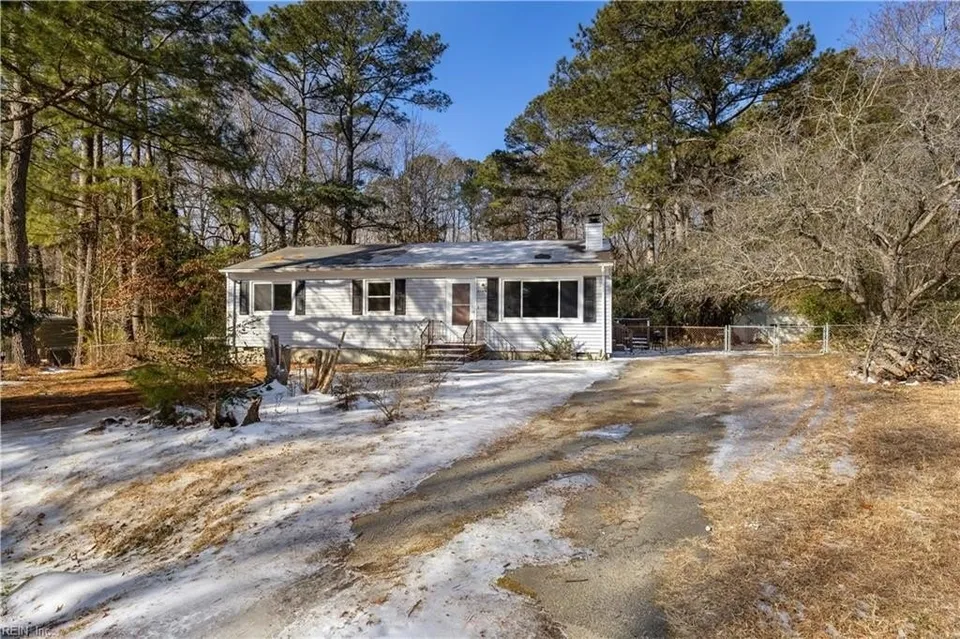
Land for Sale in Gloucester County, Virginia
Gloucester County is the gateway to Tidewater's Middle Peninsula — the closest of the Tidewater counties to Hampton Roads and the jobs, hospitals, and shopping across the Coleman Bridge. The York River defines its southern border, and tidal creeks reach deep into the interior. Gloucester Courthouse anchors the county with schools, shops, and Riverside Walter Reed Hospital.
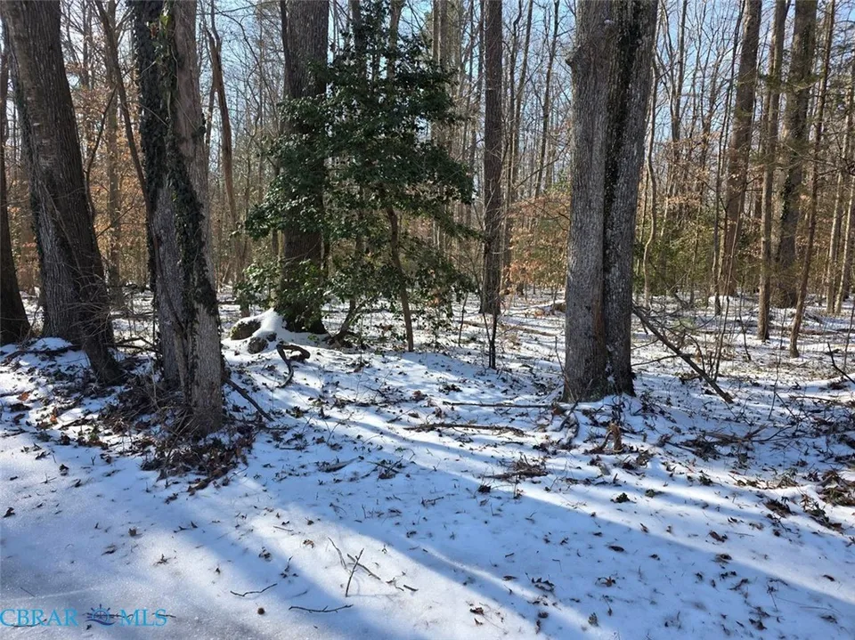
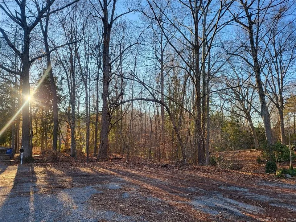
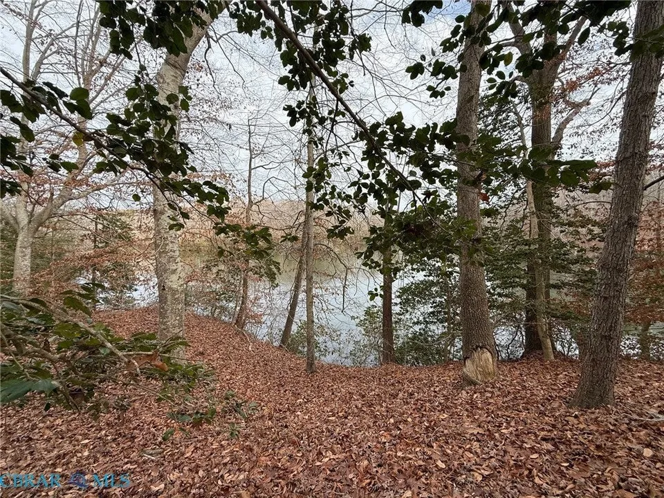
Gloucester's geography splits into two zones. The southern waterfront along the York River and its creeks — Perrin River, Sarah Creek, Aberdeen Creek — draws buyers seeking boat access and Chesapeake Bay proximity. Interior Gloucester, especially north of the courthouse, offers larger agricultural tracts and wooded parcels at lower prices with less flood exposure. The county's proximity to Newport News and Hampton (20 minutes across the Coleman Bridge) makes it popular with commuters wanting rural living near urban jobs.
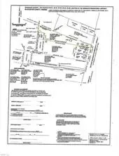
Wetland and flood data are critical in Gloucester. Tidal influence extends far inland through the creek systems, and FEMA flood zones affect buildability on many waterfront parcels. LandMatch calculates usable land percentage — the portion of each parcel outside wetlands and floodplains — so you know exactly how much buildable ground you're getting. Septic suitability varies with the coastal plain soils, and our USDA SSURGO data shows ratings parcel by parcel.
For Tidewater land buyers, Gloucester offers the best balance of water access, services, and connectivity in the region. It's the only Tidewater county with a hospital, and it has the strongest commercial infrastructure on the Middle Peninsula. LandMatch maps flood zones, wetland impact, creek access, and usable land percentage on every parcel — the data that matters most when buying coastal Virginia land.
Gloucester County is a Chesapeake Bay Preservation Act locality, which means Virginia law requires a 100-foot vegetated buffer — called a Resource Protection Area (RPA) — along all tidal waterways and connected wetlands. In Gloucester, that applies not just to the York River shoreline but to every tidal creek that feeds into it: Sarah Creek, Perrin River, Aberdeen Creek, the Ware River system, and the Mobjack Bay tributaries. The RPA is separate from the FEMA flood zone — a parcel can sit above the floodplain and still have a significant portion constrained by the buffer. When evaluating creek-front property along the York River or Mobjack Bay, the buildable area is effectively set back 100 feet from the water, which on smaller or peninsula lots can reduce the usable footprint substantially. Request an RPA determination from Gloucester County's planning office before making an offer on any waterfront parcel.